
El Morro National Monument, New Mexico
Do you manage this campground? Claim this page
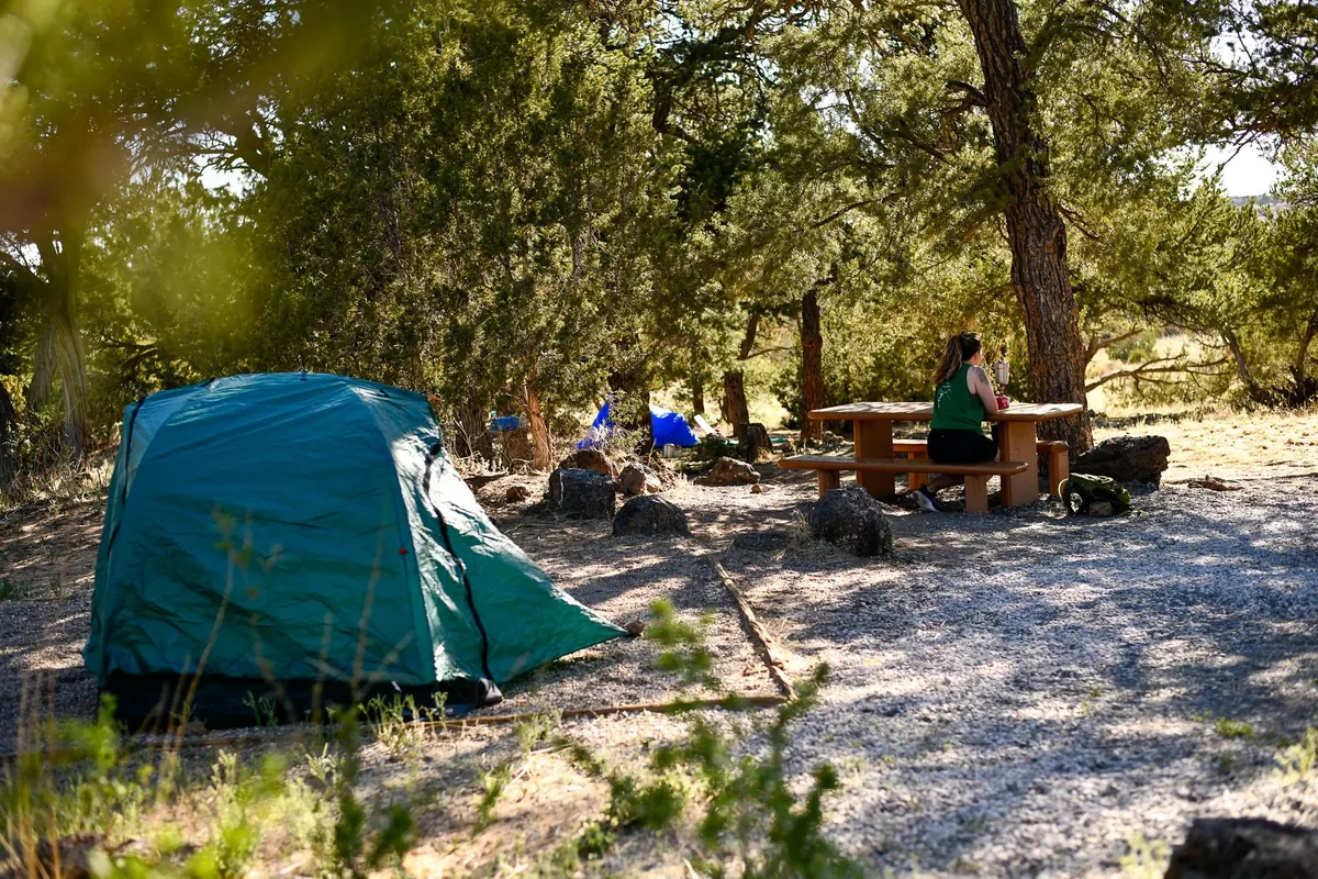
At a glance: Confirmed: drinking water. No flush toilets or showers. Not listed: electric hookups and maximum RV length.
Get updates when fees or status change
Amenities
“Not listed” means the official sources don’t say - it does not mean “no”.
- Electric hookups Not listed
- Drinking water Yes
- Flush toilets No
- Showers No
- Dump station No
- Water hookups at sites Not listed
- Sewer hookups Not listed
- Tent sites Not listed
- RV / trailer sites Not listed
- Reservable online No
Sites, fees and season
- Elevation
- 7,203 ft
- Open season
- El Morro National Monument operates a primitive campground which is open 7 days/week, all year round. (as listed by National Park Service, Oct 25, 2026)
- Phone
- (505) 783-4226 (campground or managing office)
Fees are not listed in the official data. Check the official site before you go.
From the official listing
El Morro operates a nine-site campground 7 days/week, year-round. First come-first served. Each site has a graveled tent pad, picnic table and ground grill for fires. During the warmer months, water is available at spigots that are centrally located along the campground loop road. Once the overnight low's begin to reach freezing temperatures, water is turned off for the season. There are no hookups for RVs. The length limit on all motor homes is 27 feet overall. One site, #5, is handicapped accessible.
Climate by month
Average daily high and low and monthly precipitation, 1991-2020 normals from the NOAA station El Morro Natl Mon - 0.7 mi away, station at 7,223 ft - about the same height as the campground. Long-term averages, not a forecast; the open season is listed separately above.
| Month | High °F | Low °F | Precip. in |
|---|---|---|---|
| Jan | 44 | 14 | 0.97 |
| Feb | 47 | 19 | 0.82 |
| Mar | 55 | 23 | 1.01 |
| Apr | 64 | 28 | 0.69 |
| May | 72 | 34 | 0.73 |
| Jun | 83 | 43 | 0.50 |
| Jul | 85 | 51 | 2.27 |
| Aug | 82 | 50 | 2.69 |
| Sep | 77 | 43 | 1.41 |
| Oct | 66 | 31 | 1.01 |
| Nov | 54 | 21 | 0.82 |
| Dec | 44 | 14 | 0.99 |
Highlight months with an average high between and °F:
Location and nearby campgrounds
Location on the map · Driving directions · 35.03689, -108.33681 (the official listing point; check the access road for large rigs)
- Coal Mine 38.4 mi straight-line
- Gallo Campground 71.7 mi straight-line
- Gallo Campground 73.4 mi straight-line
- Hoyer 93.7 mi straight-line
Photos from visitors
No visitor photos yet. Photos of the sites, restrooms and the road in help the next camper decide.
Visitor reviews
No reviews yet. Have you stayed here? Your experience helps the next camper.
Log in to write a reviewCreate a free account
Reviews are the personal experience of registered visitors. They do not change the official facts above; a reported problem (for example "the water was off") is checked against the official sources.
Estimate your trip cost
Sources
| Fact | Source | Fetched from the source |
|---|---|---|
| Reservable online | Recreation.gov (RIDB) | Oct 25, 2026 source updated Feb 25, 2026 |
| Drinking water | National Park Service | Oct 25, 2026 |
| Flush toilets | National Park Service | Oct 25, 2026 |
| Showers | National Park Service | Oct 25, 2026 |
| Dump station | National Park Service | Oct 25, 2026 |
| Elevation | USGS elevation (EPQS) | Oct 25, 2026 |
| Open season | National Park Service | Oct 25, 2026 |
| Official page | National Park Service | Oct 25, 2026 |
| Phone | Recreation.gov (RIDB) | Oct 25, 2026 source updated Feb 25, 2026 |
Last successful data update for this page: Oct 25, 2026. That is when we last read the official sources - not a personal visit, and not the date the source itself changed (shown per fact above). Found something wrong? Report an error.