
White River National Forest, Colorado
At a glance: Confirmed: electric hookups. Not listed: drinking water, flush toilets, showers and maximum RV length.
Amenities
“Not listed” means the official sources don’t say - it does not mean “no”.
- Electric hookups Yes
- Drinking water Not listed
- Flush toilets Not listed
- Showers Not listed
- Dump station Not listed
- Water hookups at sites Yes
- Sewer hookups Not listed
- Tent sites Yes
- RV / trailer sites Yes
- Reservable online Yes
Sites, fees and season
- Campsites
- 87
- Elevation
- 9,104 ft
- Phone
- 970-468-7681
Fees are not listed in the official data. Check the official site before you go.
From the official listing
Heaton Bay Campground is situated at an elevation of 9,000 feet and centrally located for recreation and relaxation in the White River National Forest.
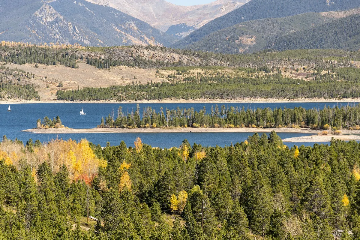
There is little or no shade in the campground due to pine beetle infestation and the removal of hazard trees, but the sites offer open views to Dillon Reservoir and several mountain ranges. Recreation
Dillon Reservoir is 3,233 acres with 26.8 miles of shoreline, offering an ideal spot for fishing, boating, and sailing. The reservoir supports a healthy population of rainbow and brown trout, in addition to a few cutthroat finding their way into the lake from feeder streams.
Opportunities for hiking and biking in this area include more than 7 paved miles of the 50-mile Summit County trail system.
The Old Dillon Reservoir Trail is a favorite. This short, easy trail has spectacular views of the Tenmile Range and the Continental Divide.
Climate by month
Average daily high and low and monthly precipitation, 1991-2020 normals from the NOAA station Dillon 1 E - 2.7 mi away, 9,065 ft higher than the campground. Long-term averages, not a forecast; the open season is listed separately above.
| Month | High °F | Low °F | Precip. in |
|---|---|---|---|
| Jan | 31 | 2 | 0.95 |
| Feb | 33 | 4 | 0.99 |
| Mar | 40 | 10 | 1.15 |
| Apr | 48 | 18 | 1.42 |
| May | 58 | 26 | 1.34 |
| Jun | 69 | 33 | 1.13 |
| Jul | 75 | 38 | 1.87 |
| Aug | 72 | 37 | 1.91 |
| Sep | 66 | 30 | 1.40 |
| Oct | 54 | 21 | 0.98 |
| Nov | 41 | 11 | 0.88 |
| Dec | 32 | 3 | 0.87 |
Highlight months with an average high between and °F:
Location and nearby campgrounds
Open map · 39.60500, -106.07778
- Timberline Campground 20.6 mi straight-line
- St. Louis Creek 25.2 mi straight-line
- Idlewild Campground 26.1 mi straight-line
- Father Dyer 27.1 mi straight-line
- Baby Doe 27.4 mi straight-line
Estimate your trip cost
Sources
| Fact | Source | Checked |
|---|---|---|
| Campsites | Recreation.gov (RIDB) | Oct 24, 2026 |
| Reservable online | Recreation.gov (RIDB) | Oct 24, 2026 |
| Tent sites | Recreation.gov (RIDB) | Oct 24, 2026 |
| RV / trailer sites | Recreation.gov (RIDB) | Oct 24, 2026 |
| Electric hookups | Recreation.gov (RIDB) | Oct 24, 2026 |
| Water hookups at sites | Recreation.gov (RIDB) | Oct 24, 2026 |
| Elevation | USGS elevation (EPQS) | Oct 24, 2026 |
| Official page | Recreation.gov (RIDB) | Oct 24, 2026 |
| Official reservations | Recreation.gov (RIDB) | Oct 24, 2026 |
| Phone | Recreation.gov (RIDB) | Oct 24, 2026 |
Data last checked Oct 24, 2026. Found something wrong? Report an error.